


- Record forest fires raged out of control in South America in 2024, scorching areas that had never burned before. An El Niño episode is expected to intensify fires in 2026 and 2027.
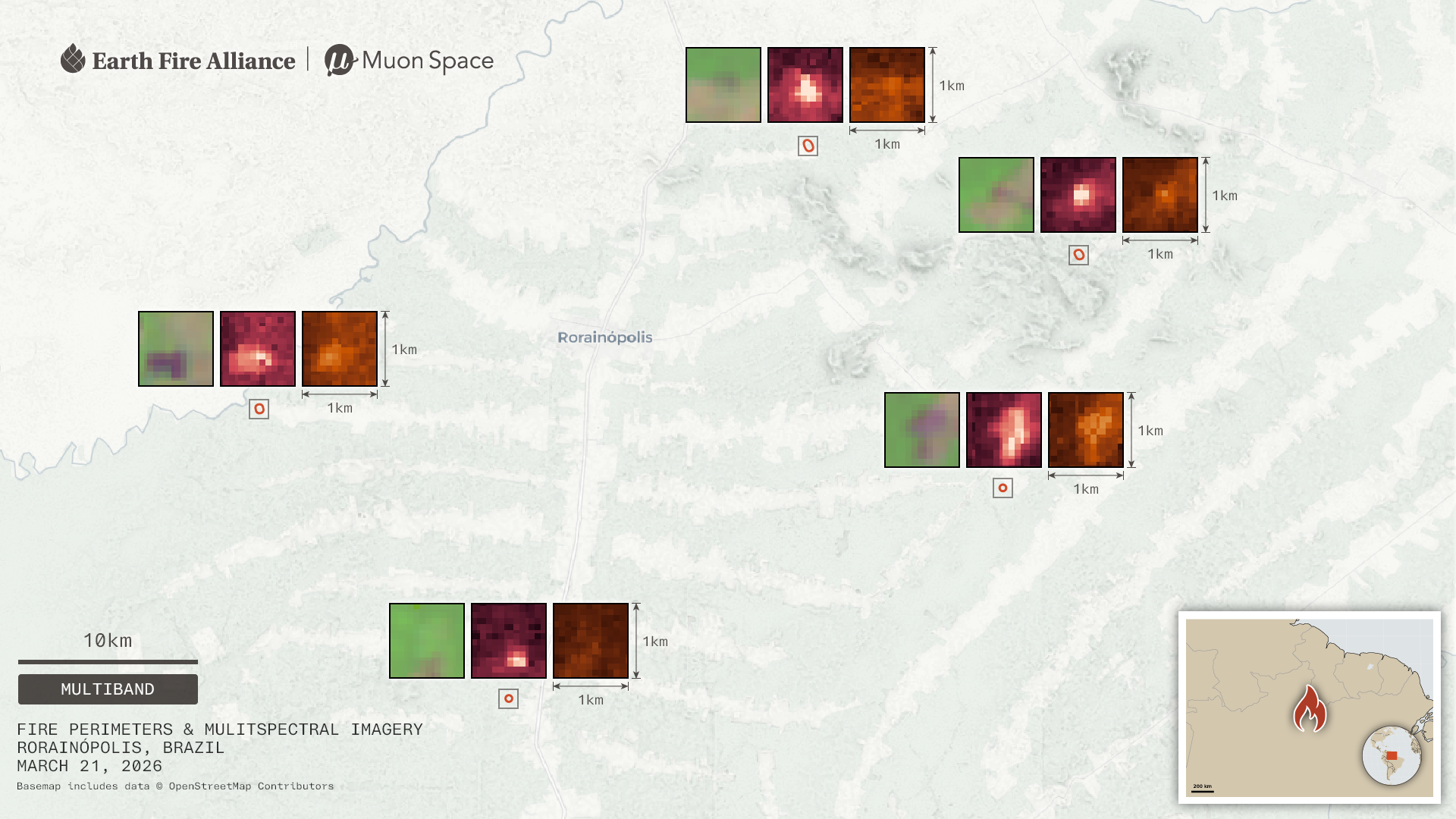
- Earlier this month, nonprofit Earth Fire Alliance launched three FireSat satellites, the latest step in its plans to provide firefighters worldwide with more precise and rapidly updated data.
- For countries in the Amazon basin, the technology promises to provide data that could ensure faster and more accurate responses. Yet, in many countries, the lack of physical infrastructure and governmental support could dampen the positive impacts of having more data.
Record wildfires devastated South America in 2024, raging out of control in biomes where fire is a natural part of the ecosystem, but also entering rainforests that had never burned before. Driven by expanding industrial agriculture, an El Niño episode, and droughts worsened by global climate change, the thick smoke from the wildfires grounded flights, shuttered schools, and caused lasting health problems.
After favorable weather led to a reprieve from the most destructive fires worldwide last year, fire experts expect major wildfires to return to South America in 2026 and 2027. With fire season beginning in the continent, park rangers and firefighters hope that a trio of satellites launched in early July will provide more precise, rapidly updated data to wildland firefighters worldwide.
The first three operational satellites from Earth Fire Alliance are meant to help improve global fire detection by providing frequent high-resolution wildfire data. These are part of the nonprofit’s FireSat program, which aims to deploy about 50 low-orbit satellites by 2030. The satellites are still being tested and calibrated, but in a few months, a first cohort of early adopters will gain access to the data.
Once fully operational, the system could help fire agencies reduce emissions from wildfires worldwide by 5-10% yearly, according to Paul Bodnar, director of clean industry and special projects at the Bezos Earth Fund, which provided a $26 million grant to the program.
The new satellites launch as the world enters an El Niño climate pattern that will likely mean drought and intensified fires in the Amazon basin through 2027. While the program has brought some optimism, Indigenous communities and experts warn that better data alone cannot fix the funding and governance failures that complicate effective fire responses.
Tracking fires in real-time
Existing satellite systems can spot wildfires, but none offer both clear images and frequent updates. Environmental monitoring satellites like the USGS Landsat and the European Sentinel-2 have high resolutions from 10 to 30 meters (33-98 feet), but can take up to two weeks to pass over the same spot again. Others, like NASA’s MODIS and VIIRS, scan the globe much more frequently, but their 375-meter (1,230 feet, or about a quarter mile) resolution means that a fire must already be large to be spotted. By 2029, FireSat plans to deliver up to 5×5 meter (16×16 feet) resolution every hour — with a hope to improve that to 20 minutes by 2030.
“Most of the existing civil systems are weather satellites, not specifically fire satellites,” Ann Kapusta, founding principal and early adoption and community engagement lead at Earth Fire Alliance, told Mongabay in a video call. Because these older systems are not designed specifically for the thermal wavelengths of fires, Kapusta noted that cool, smoldering blazes can often go undetected until it’s too late — a blind spot that FireSat is engineered to address.
Time lags and missed fires are also a problem for current technology. “VIIRS can’t really see through smoke,” Manoela Machado, a research scientist focused on fires in the Amazon and Cerrado at the University of Oxford and the Woodwell Climate Research Center, told Mongabay by phone. “FireSat will be able to see better, so detections will be probably more accurate.”
Impacts in the Amazon basin
For conservation experts in the Amazon and surrounding biomes, FireSat could be an important tool in upcoming fire seasons. “We can’t predict where the fire is going to be,” Ricardo Abad, a remote sensing and GIS expert at the Brazilian nonprofit Instituto Socioambiental, which is a FireSat early adopter, told Mongabay in a video call. “But if we can monitor it with a very high temporal resolution, that gives us more time for response.”

Abad works with Indigenous communities in Brazil’s Xingu Basin to monitor illegal deforestation in protected areas using satellite data. Many of those communities have access to Starlink satellite internet, which helps data reach local fire brigades quickly.
Machado agreed that FireSat “has great potential to have a strong impact” for Indigenous communities in the Brazilian Amazon, but cautions that data is just one piece of the puzzle. Effective fire management requires equipment, training and infrastructure. “If we don’t transform that raw data coming out of the satellite into something actionable that is easy to interpret and timely, then it’s almost pointless,” she said.
That rapid response is not easy with systems like VIIRS, Machado said, as it requires downloading NASA data and opening it in GIS software, which can be cumbersome for brigades and communities in remote areas.
According to Kapusta, data accessibility is key to the impact FireSat hopes to achieve. “We wanted to make sure that we’re delivering the data in the formats and functions that really meet our users where they’re at,” she said.
Yet, in many Amazonian countries, the impact of accessible data is limited by a lack of physical infrastructure and governmental support.
In Bolivia, the 2024 fires were historic, burning about 12.6 million hectares (31 million acres), an area almost the size of the U.S. state of New York.
Wildfires in Bolivia often begin when industrial agriculture uses fire to clear land for crops and cattle. Driven by chronic droughts and permissive government policies, these intentional fires increasingly spread out of control. “Early detection means nothing if you don’t have a rapid response team or the power to halt deliberate burning and deforestation,” Iván Arnold, director of the Bolivian environmental organization Nativa Foundation, told Mongabay via email. The country’s response to fires also tends to be reactive, he explained, with a lack of political will and absence of investment in prevention.
A lack of firefighting resources
The bulk of Bolivia’s wildfire response falls on park rangers, volunteer brigades, and Indigenous communities left to fend for themselves without basic equipment. Isabel Surubí, who leads an Indigenous women’s organization in Bolivia’s Chiquitano dry forest region, which was devastated by the 2024 fires, told Mongabay via phone that Indigenous community members often fought the blazes in sandals and armed only with soda bottles filled with water. “There weren’t even the financial resources to provide food to support our firefighters and volunteers in each community,” she said.
Nancy Barba, a park ranger in Otuquis National Park along Bolivia’s far eastern border with Brazil and Paraguay, has also seen this resource gap slow firefighting efforts. When intense fires razed the park’s Pantanal wetland biome in 2019 and 2020, the main obstacle was a lack of basic infrastructure and funding. “Sometimes a fire is detected, but because we don’t have fuel or our vehicles are in poor condition, we simply don’t have the means to respond immediately,” she told Mongabay via voice message. “By the time we get there, the fire is already so massive that it’s nearly impossible to control.”
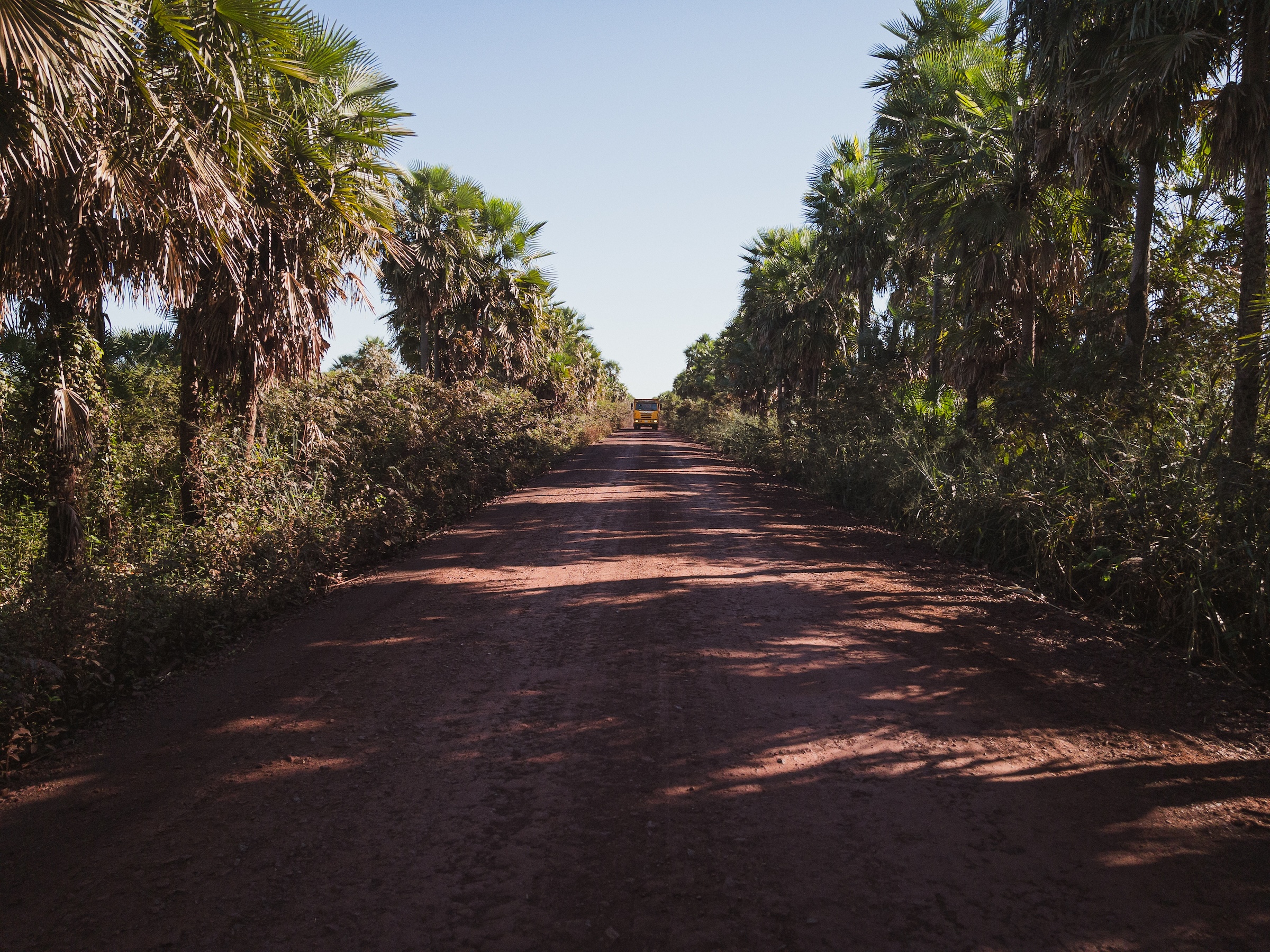
Chronic fuel shortages in Bolivia in recent years have worsened the situation. But even when fuel is available, insufficient budgets often mean that rangers use their own salaries to refuel park vehicles, Barba said. Limited cellular signal in remote areas, with only seven park rangers responsible for a national park larger than Yellowstone in the U.S., also complicates effective and timely fire management.
For Arnold, “satellite technology is an invaluable piece of the puzzle, but it will only reach its full potential if it is backed by strengthened institutions, empowered communities, and effective coordination among everyone involved,” he said.
Bolivian park rangers, who earn between $350-$400 per month, have requested a meeting with President Rodrigo Paz to demand better pay and working conditions. However, Cecilia Miranda, director of Bolivia’s national park authority (SERNAP), recently ruled out wage increases, citing budgetary constraints. Instead, SERNAP hopes to make individual protected areas more financially independent, while continuing to rely on partnerships with nonprofits to sustain basic operations.
Compounding these local infrastructural limitations is the El Niño climate pattern. Projected to be the strongest in a century, communities across the Amazon basin are bracing for intense droughts and fires.
“This is the beginning of the El Niño, and I do expect to see more fires than in 2025,” Machado said. But because precipitation deficits accumulate over time, the 2027 fire season in the Amazon basin is likely to be more serious, she added. Forests that burned recently will be especially vulnerable, she explained, because fast-growing plants that fill forests after a fire burn more easily than large trees.
After the FireSat early adopter phase, access will roll out to the general public in 2027, with free non-commercial licenses reaching researchers and firefighting organizations in time for the fire season.
“I hope all the pieces have come together by that point, with the technology and action on the ground working as a well-oiled machine,” Machado said. “That needs to happen as fast as possible.”
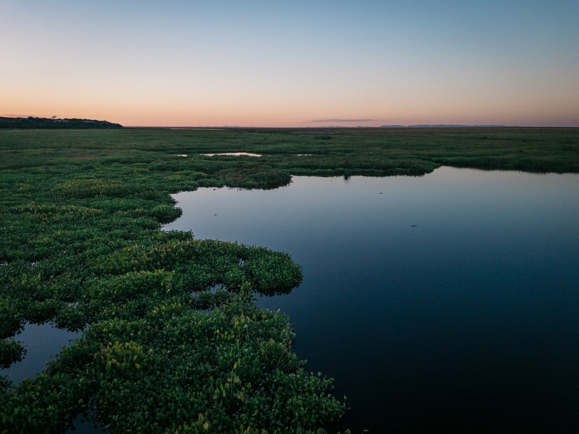
Banner image: Laguna Cáceres, on the edge of the Bolivian Pantanal, in 2026. Image by Benjamin Swift.
FEEDBACK: Use this form to send a message to the author of this post. If you want to post a public comment, you can do that at the bottom of the page.
Cite this article
Benjamin Swift (2026). New fire satellites offer hope for Amazon and other biomes, but local barriers remain. Mongabay Conservation news. DOI: https://doi.org/10.66709/news-324873

