


Founder’s Briefs: An occasional series where Mongabay founder Rhett Ayers Butler shares analysis, perspectives and story summaries.
Four Melanesian countries are planning a network of marine reserves across one of the world’s richest stretches of ocean. Papua New Guinea, Vanuatu, and Fiji announced the Melanesian Ocean Corridor of Reserves in May. Solomon Islands joined in June.
The corridor would connect protected areas across national waters and could eventually extend into the high seas, reports contributor Ashley Yeong for Mongabay. Melanesia lies within the Coral Triangle in the southwestern Pacific Ocean, which contains an estimated three-quarters of known coral species. Its waters also support sharks, rays, dugongs and whales, and many species still being described by scientists.
Several large reserves could serve as anchors. Papua New Guinea is planning a 214,000-square-kilometer (82,626 square-mile) no-take sanctuary in western Manus, an area roughly the size of Great Britain. Vanuatu has announced a fully protected marine area covering 71,000 sq km (27,413 sq mi) around Torba Province. Fiji has pledged to protect 15% of its waters by the end of 2026.
Linking these areas could help protect migration routes and spawning grounds of marine life and the movement of larvae between reefs. Common rules could also make it harder for industrial fishing vessels to concentrate along the boundaries of individual reserves.
The governments involved have disclosed little about the corridor, including how it will operate. Maps, boundaries, governance arrangements, enforcement systems, and funding plans remain unavailable. Differences in monitoring capacity could leave some areas vulnerable to illegal or poorly regulated fishing.
The role of Indigenous communities in governing the corridor has yet to be defined. Customary marine tenure remains widespread across Melanesia, where communities have managed fishing grounds through local rules for generations. Any regional system will have to address how these arrangements fit within the corridor and how decision-making authority is shared.
The Pacific Regional Environment Programme is helping to develop the legal and policy framework. The next steps will involve setting boundaries, agreeing on rules, securing funding, and establishing credible enforcement. Until then, the corridor remains a declaration of intent rather than a functioning conservation system.
Read the full story by Ashley Yeong here.
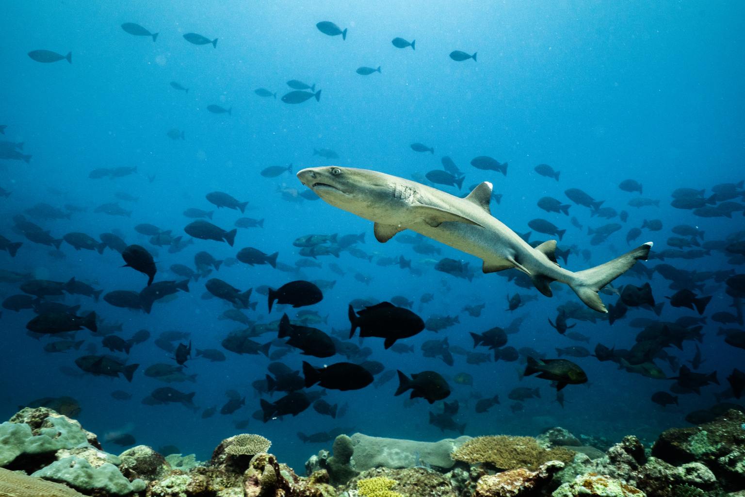
Banner image: A whitetip reef shark (Triaenodon obesus) stalks the reef at Luf Island, Papua New Guinea. Image courtesy of Ollie Velasco/National Geographic Pristine Seas.
