


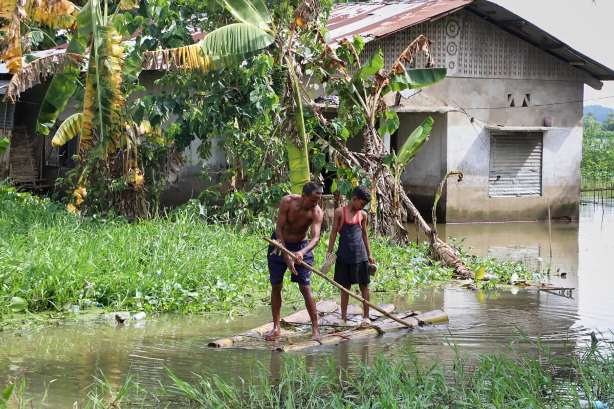
Widespread flooding in northeastern India that affected more than 500,000 people and claimed at least 99 lives between June and August 2026 was primarily driven by human factors like rapid urbanization, deforestation, and destruction of wetlands, new research says. It also points to structural failures rather than climate change.
The findings were published by World Weather Attribution (WWA), a global network of researchers who analyze the influence of climate change in extreme weather events.
Floods hit India’s Assam state nearly every monsoon as the Brahmaputra River and its tributaries overflow, often submerging the surrounding landscapes.
“We decided to focus on the upper Assam, both because of the significant socio-economic and environmental damage reported in the region, and the sheer collective damage of catastrophic floods in the region year on year,” research co-author Arpita Mondal, from the Indian Institute of Technology Bombay (IIT Bombay), said at a press briefing.
The scientists analyzed historical weather records and climate models to determine the likelihood of the extreme rainfall that occurred over a three-day period (June 26-29), as well over a 30-day period (June 20 to July 19).
They found the heavy rainfall observed in 2026 wasn’t exceptional, recurring every one to two years.
The team also found no clear link to human-induced rise in global temperatures.
“When we combine the observational results with the climate models, we again found no detectable climate change signal in either type of events,” co-author Mariam Zachariah, from Imperial College London, said at the briefing.
Instead, the study found the main drivers of this year’s catastrophic floods were land-use changes, sedimentation, and structural vulnerability.
The Brahmaputra River itself carries large amounts of sediments every monsoon that raises its riverbed, reducing channel capacity, meaning water flows out. This season’s flooding was, however, worsened by unplanned urbanization and deforestation that has degraded wetlands and disrupted natural drainage.
Sneha Ganguly, study co-author from the Red Cross Red Crescent Climate Centre, said at the briefing that evidence from a review of 35 studies suggested “unplanned urbanization, deforestation, poor drainage, inadequate structural flood management measures, and other anthropogenic changes now outweigh natural rainfall variability in explaining flood frequency.”
The report also highlights historical roots of vulnerability: Colonial land appropriation for tea plantations forced Indigenous communities onto marginal, highly flood-prone riverbanks and sandbars (char areas), creating systemic patterns of exposure that persist today.
While Assam has built extensive concrete embankments, the report warns that heavy reliance on rigid infrastructure can actually worsen flooding by trapping silt and increasing the risk of breaches.
“Future adaptation will therefore need to focus less on controlling rivers and maybe more on working with them to combine targeted engineering with floodplain restoration, wetland conservation, reducing development in floodplains, improved drainage, and community preparedness,” Ganguly said.
Banner image: A villager rows a makeshift banana raft to cross floodwaters near his submerged house in Alengmora village in Jorhat, India, on Aug. 10. Image by AP Photo/Parikhit Saikia.
