


Author: Lars Ivar Leivestad, Commercial Manager at Miros.
Offshore operations bring together vessel crews, client representatives, contractors, and project teams. Nobody ever disagrees on the goal of the project. The disagreement happens the moment the question shifts from “what needs to be done?” to “is it safe to do it now?”
Someone must make the call. And when conditions are marginal, everyone in that room has a different number in their head.
That’s where the cracks appear.
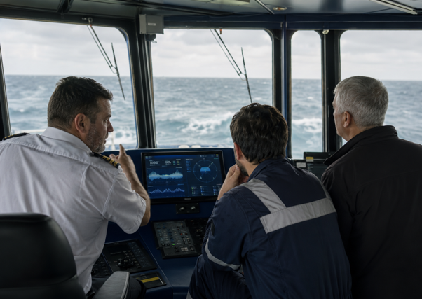
After a weather delay, who decides when to restart? The client representative, pushed by an onshore schedule, may – manually – read the sea state differently to the deck supervisor responsible for the crew at the rail. The project team sees a closing window. The bridge sees wave heights that don’t match the forecast. Everyone is working from the same event, but not from the same facts.
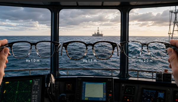
Forecasts are useful and no serious offshore operator dismisses them. But a forecast is a probability, not a measurement. It describes potential conditions across a region, across a time window. What it cannot do is tell you, with precision, what the wave height, period, and direction are at your vessel’s exact position right now, as the crew prepares to move.
That gap is where subjective judgment fills in.
The decision that can’t be shared
Experience and seamanship matter. But when one qualified person calls conditions acceptable, and another calls them borderline, what follows isn’t a decision, but a negotiation. Pressure enters the room. The people most exposed to consequences may have the least power in that conversation.
Across different offshore vessel hazards, this pattern exists across every vessel category, from platform supply vessels and anchor handlers to construction and installation vessels, patrol craft and survey ships. While the specific risks vary, the underlying problem doesn’t. Go or no-go decisions, personnel transfer windows, crane lifts, cargo handling: every one of them requires a judgment call about sea state. Every one of them becomes harder to make well, and harder to defend afterwards, without measured local data.
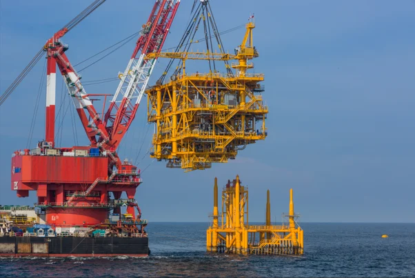
Take lifting operations. Wave period, vessel motion, current, and relative motion all affect whether a crane lift proceeds safely. A lift may begin in acceptable conditions and deteriorate mid-operation. Without real-time measurements feeding that picture, the decision to proceed relies on what conditions looked like at departure, or on what the forecast suggested, or on what the crane operator estimates from the deck. Snap loads and sudden movements put deck crew in danger. Load swing, dropped objects, rigging failure. These aren’t theoretical. They’re the documented consequences of starting with incomplete information.
Personnel transfer carries the same logic. A safe transfer window is defined by measured local conditions, not by what the weather report said that morning. Heave, pitch, roll, and short-term motion prediction all feed into whether a gangway operation or boat landing is viable. Misjudge the window and the consequences range from aborted transfer to crush injury or even fatality.
The cost no one is counting properly
Weather downtime is among the largest single sources of non-productive time in offshore operations. What gets less attention is the cost of poor decisions at the margins: operations that continued when they shouldn’t have, operations that stopped when they didn’t need to, and the accumulated friction of a vessel, client, and installation working from different interpretations of the same sea.
That friction shows up in the audit trail too. When a decision is challenged after the fact, whether in an incident investigation, a client dispute, or a regulatory review, “the forecast said it was fine” and “the master judged it acceptable” are not the same as a verified record of actual measured conditions. The compliance and assurance risk is real. Without a defensible local metocean record, the decision becomes harder to stand behind even when it was the right call.
Dynamic positioning (DP) safety adds another dimension. DP station-keeping depends on real-time inputs: wave direction and period, current, wind, and vessel response. Without accurate local data feeding that picture, the margin between controlled operation and emergency disconnect narrows in ways the DP operator may not see until it’s too late. Drive-off and drift-off incidents don’t always announce themselves. Often, they follow a gradual erosion of the known operating envelope, one unverified assumption at a time.
What changes when the data exists
Real-time, in-situ sea state measurement doesn’t remove responsibility from the people making these calls. It changes what those calls are based on. The conversation shifts from “what do we think conditions are?” to “what are the measured conditions right now?” That’s not a small difference but rather the huge gap between a decision and a guess with paperwork.
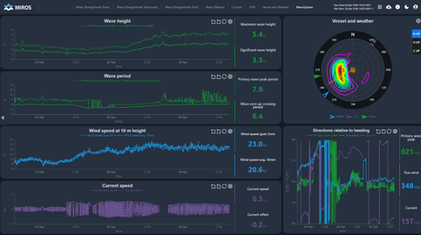
It also changes what happens over time. Historically measured data from a vessel’s actual operating locations builds a record that no forecast database can replicate. It shows which sea states previously led to safe transfers and which led to aborted ones. It links past current profiles and vessel motion to subsea task quality and rework. It connects actual wave period and load behavior to equipment wear rates on thrusters, cranes, gangways, and winches. That record becomes the foundation for better planning, better limits, and better briefings for the next crew that rotates onto the same vessel in the same field.
The offshore sector has invested heavily in vessel technology, dynamic positioning, remote monitoring, and predictive systems. Real-time ocean measurement sits at the same level of operational necessity. Prediction gives crew time to respond. Time is the real safety margin. But prediction without measured ground truth is still an assumption, dressed up in better software.
The question the industry keeps deferring
Offshore work will always carry uncertainty. The ocean doesn’t operate to schedule. But the choice to reduce that uncertainty, at the exact moment and location where the decision must be made, is no longer constrained by technology. The capability exists.
The question is whether real-time local sea state data becomes an operational baseline, the standard input for go or no-go decisions, weather window planning, and post-operation review, or whether it stays optional, something used by the better-equipped operators while the rest continue making critical calls on forecast data and judgment alone.
The question we ask is this: why does the industry continue to tolerate a gap that it already has the tools to close?
Note: The opinions, beliefs, and viewpoints expressed in this article do not necessarily reflect the opinions of offshore-energy.biz.

Power Your Brand With Offshore Energy ⤵️
Take the spotlight and anchor your brand in the heart of the offshore world!
Join us for a bigger impact and amplify your presence at the core hub of the offshore energy community!
