

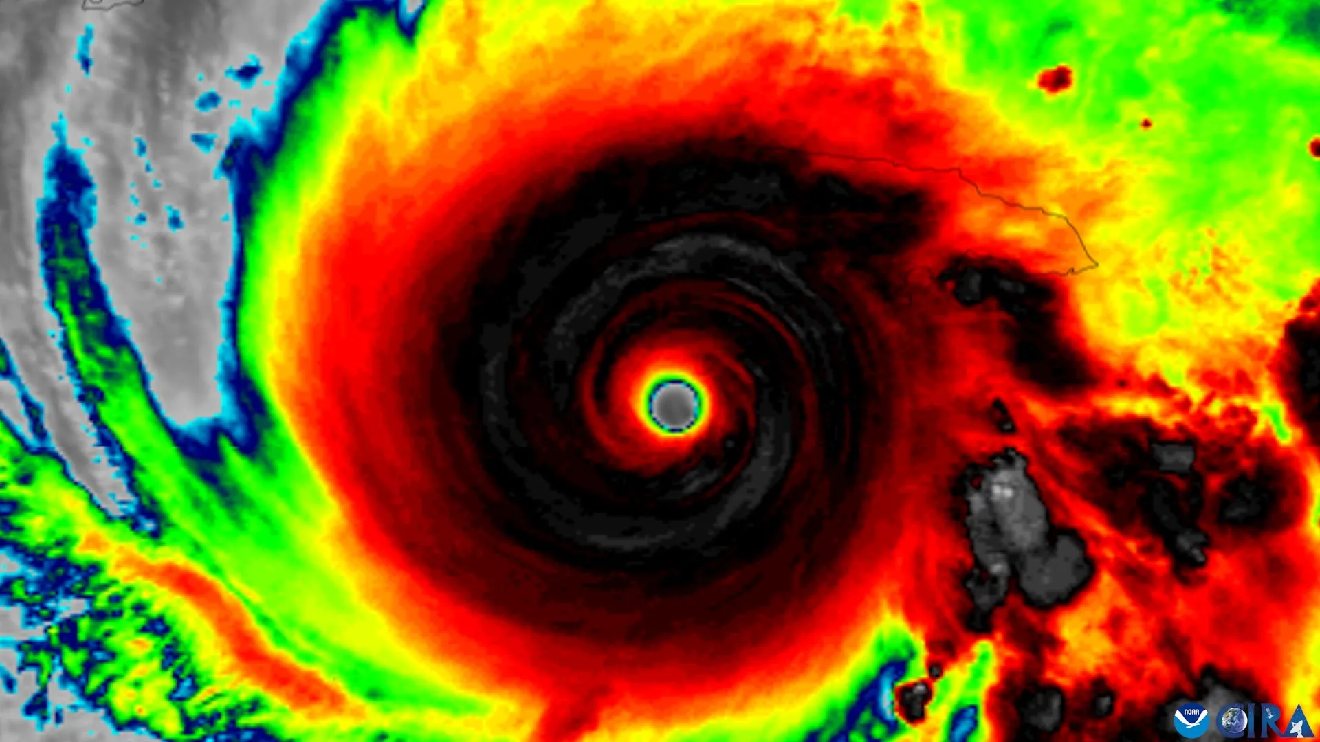
An updated hurricane forecast map is making it easier for people to identify areas threatened by storms, but new research reveals a concerning limitation. Even when people can recognize where hurricane watches are in effect, they may not feel more at risk or become more inclined to take precautions.
Researchers at Florida State University examined whether changes to the National Hurricane Center (NHC) forecast graphics improve public understanding of hurricane threats. The study involved faculty from the School of Communication within the College of Communication and Information and the Department of Geography.
The researchers evaluated an experimental graphic that expands the traditional hurricane forecast cone to include tropical storm and hurricane watches and warnings for inland areas. The familiar cone has historically placed greater emphasis on coastal regions, even though dangerous storm conditions can extend far from the shoreline.
The findings revealed mixed results. Although the revised graphic helped people without specialized weather knowledge recognize inland areas under hurricane or tropical storm watches, it did not significantly influence how dangerous they believed the storms would be or whether they intended to take protective measures. Participants also showed no improvement in identifying areas covered by storm warnings.
The updated format was developed by the NHC in 2024, and the findings were published in the American Meteorological Society journal Weather, Climate, and Society.
“The National Hurricane Center has made a number of thoughtful changes to improve how hurricane information is communicated,” said Assistant Professor Elizabeth Ray, the study’s lead author. “We had a simple question. Do those changes actually help people understand what the graphic is telling them about the risk they face?”
Why People Misunderstand Hurricane Forecast Maps
To investigate how the public interprets hurricane forecasts, the research team surveyed residents of Florida and Georgia. Participants were shown either the conventional hurricane cone graphic or the newer experimental version that includes additional information about inland storm threats.
People who saw the revised map were more successful at identifying locations under hurricane or tropical storm watches. However, that improvement in recognizing watch areas did not lead to greater concern about the potential danger or stronger intentions to take safety precautions.
The results also highlighted a persistent misunderstanding surrounding the familiar hurricane “cone of uncertainty.” Many people incorrectly interpret the width of the cone as an indication of a storm’s physical size, rather than understanding what the graphic is intended to communicate about the uncertainty in its projected track.
“For years, research has shown that people often mistake a wider cone for a bigger storm,” Ray said. “Our findings suggest that even with an updated graphic, that misconception can be hard to shake.”
Why Better Hurricane Warnings May Not Be Enough
The NHC introduced its expanded forecast graphic in 2024 to help people recognize that hurricane dangers are not limited to communities along the coast. Flooding, tornadoes, and destructive winds can threaten areas well inland, making it important for residents beyond coastal evacuation zones to understand their potential exposure.
By adding inland hurricane and tropical storm watches and warnings to the traditional forecast cone, the updated graphic provides a more complete picture of where dangerous conditions could develop.
However, the study suggests that adding useful information to a forecast does not automatically make people more aware of their personal risk or more likely to respond appropriately.
The researchers stressed that their findings do not call into question the quality of the NHC’s weather predictions, which they consider highly accurate. Instead, the results underscore the difficulty of presenting complex meteorological information in a way that people can readily interpret and use when making safety decisions.
“Our question wasn’t whether the science is good,” said co-author Patrick Merle, professor and director of the School of Communication. “The science is excellent. The question is how we communicate that science so people who aren’t meteorologists understand the risk they’re facing.
If people find information credible but still don’t understand it well enough to take protective action, then communication has fallen short. The goal is to empower people with information they can use to stay safe.”
How to Better Understand Hurricane Risks
The findings point to the importance of looking beyond a single forecast image when preparing for a hurricane. Although the cone can provide valuable information about a storm’s expected path, it cannot communicate every hazard that a particular community might experience.
The researchers recommend using hurricane forecast graphics alongside local weather predictions and detailed information about possible impacts. Understanding the specific threats to an area, as well as the protective steps residents should consider, can provide a more useful basis for making decisions.
“Our findings are a reminder that one graphic can only tell you part of the story,” Ray said. “Don’t rely on the cone alone. Pair it with clear, local information about what impacts to expect and what actions to take. That gives you a fuller picture of what the storm could mean where you live and what to do next.”
The study received funding through an internal Florida State University SEED grant. The research was also informed by discussions with the NHC, which supplied the experimental forecast graphics evaluated by the team.
Bradford Johnson, an assistant professor in the Department of Geography, contributed as a co-author.
