


- An AI-powered tool is helping keep an eye on the world’s most remote forests.
- Named SPARROW, the biodiversity monitoring tool continuously gathers and analyzes images and audio from forests over a long time period without human intervention.
- Developed by Microsoft, it aims to make data gathering and analysis from remote forests easier for scientists and conservationists.
- SPARROW has been deployed in five continents and, according to Microsoft, tests on location show it can function for more than a year without interruption.
At a meeting with conservationists a couple of years back, Juan Lavista Ferres had a eureka moment.
As the director of Microsoft’s AI for Good Lab, Lavista Ferres has extensively worked on projects that use artificial intelligence technology to process and analyze biodiversity data. At that particular meeting, however, he realized that a glaring gap persisted.
“It takes a huge amount of effort to collect data,” Lavista Ferres, who is also Microsoft’s chief data scientist, told Mongabay in a video interview. “We never realized how bad it was until we worked closely with them [the conservationists] to see the whole workflow.”
On returning to his lab, Lavista Ferres put together a team to find a solution. The result was Project SPARROW.
Short for solar-powered acoustic and remote recording observation watch, SPARROW combines edge computing and AI to monitor biodiversity in real time and continuously. Powered by solar energy, the tool has been developed to function autonomously in remote forests to gather and process visual and audio data.
“The whole idea of SPARROW is to make it trivial for conservationists to be able to collect data,” Lavista Ferres said.
SPARROW has been deployed in 11 countries across five continents and has demonstrated that it can function continuously without human intervention for more than a year. Deployments in remote forests come with their own set of challenges, however, as devices are difficult to access.
“Our most important challenge is to make sure that these devices are completely bulletproof,” Lavista Ferres said, in order to withstand demanding conditions. One of his team members, he said, likened it to working with NASA rovers because “you know you have the device, but you cannot go there to recover it.”
Lavista Ferres spoke with Mongabay’s Abhishyant Kidangoor about how SPARROW works, the motivation behind developing it and the impact it has had.
The following interview has been lightly edited for length and clarity.
Mongabay: How would you describe Project SPARROW to someone who hasn’t heard about it yet?
Juan Lavista Ferres: SPARROW is our biodiversity effort to make it easy for conservationists to collect and analyze data. SPARROW means solar-powered acoustic and remote recording observation watch. Conservationists around the world share one thing in common: To do their job, they need data. In many ways, conservation moves at the speed of that data. However, the challenge that these conservationists have today is that it takes a huge amount of effort for them to collect data.
We’ve been working in this space for a long time. For the past seven years, we were focused mainly on applying AI to analyze images. We never realized how bad it [data collection] was until we worked closely with them to see the whole workflow. Suddenly, we really understood the hassle they needed to go through to go to the middle of the Amazon and put a camera, then go back three weeks after that to change batteries and collect the camera chip. It’s actually dangerous in many ways. Also, getting and analyzing the data would take months. Sometimes, from the day they put the camera to the day they actually collect and finally analyze the data, it could be a year.
We wanted to walk through the process with conservationists and say, “Hey, let’s build a system that does everything for you.” They’ll just need to deploy the camera once. The camera will have solar panels and a GPU [graphics processing unit] inside. It collects data and sends it back to the cloud using a low-orbit satellite or a GSM connection [a digital cellular network]. The conservationists will have all the tools in a website to analyze the data. This way, they can focus not on the workflow, but instead on collecting and analyzing the data. The whole idea of SPARROW is to make it trivial for conservationists to be able to collect data.

Mongabay: What’s the status of Project SPARROW now?
Juan Lavista Ferres: These systems have been working now for over a year in some areas. We have it running in five continents. Our first objective was to see if we can actually have one device collecting data for over a year without human intervention. That was our first line of success.
A lot of people were skeptical about it. They said that if you have a camera in the middle of the Amazon, it’s too humid and it is not going to be able to last for a year especially if you have solar panels and a GPU. But we were able to do it. That was our first objective.
Mongabay: What was the immediate motivation to get this moving?
Juan Lavista Ferres: The project started almost two years ago. In May 2024, there was a biodiversity meeting that I was invited to. This was a group of people that Planet Labs, the satellite data company, brought together with a significant number of conservationists. We spent three days working with conservationists to try to understand their hurdles. That’s when I had my “aha” moment. I realized we were not solving a real problem for these people; we were solving only a tiny problem for them. So we started talking about how we can solve the bigger problem and there were a lot of discussions with people who are actually conservationists on the ground.
Mongabay: What happened next? What did the journey of bringing this into fruition look like?
Juan Lavista Ferres: I started walking through the process with conservationists there. We talked about collecting data by using solar panels. Then there were some people who were concerned that having a device in the middle of the Amazon, with all that humidity, was not going to work. Some of them told us that we would need huge solar panels to manage the low-orbit satellites.
I came back to the lab and put a team together. We started working around June 2024 and it took us seven months to put together a prototype. But a lot of things failed, and we worked through it and eventually, we finished a prototype. It was around May 2025 when we actually did the first deployments. We deployed in the Magdalena Medio region in central Colombia, and in Los Amigos [a research station] in the Peruvian Amazon. A few failed there too and we learned a little bit more from that. We went back and changed some of the components. Eventually, we deployed it with some of those updates around July. We haven’t touched those devices for a year.
We now have SPARROW deployed in many places. The first generation of SPARROW required people to solder it to use the devices but, since then, we have made it relatively simple. You can assemble the latest version in minutes. It’s just like a Lego.

Mongabay: Say I am a conservationist, how can I use SPARROW? What kind of data will I get?
Juan Lavista Ferres: SPARROW is always recording. There are cameras, so basically anytime something moves, it takes a picture and then you run an AI model that takes the picture and analyzes whether there is an animal in it. If there is an animal, it will send the information back to the cloud.
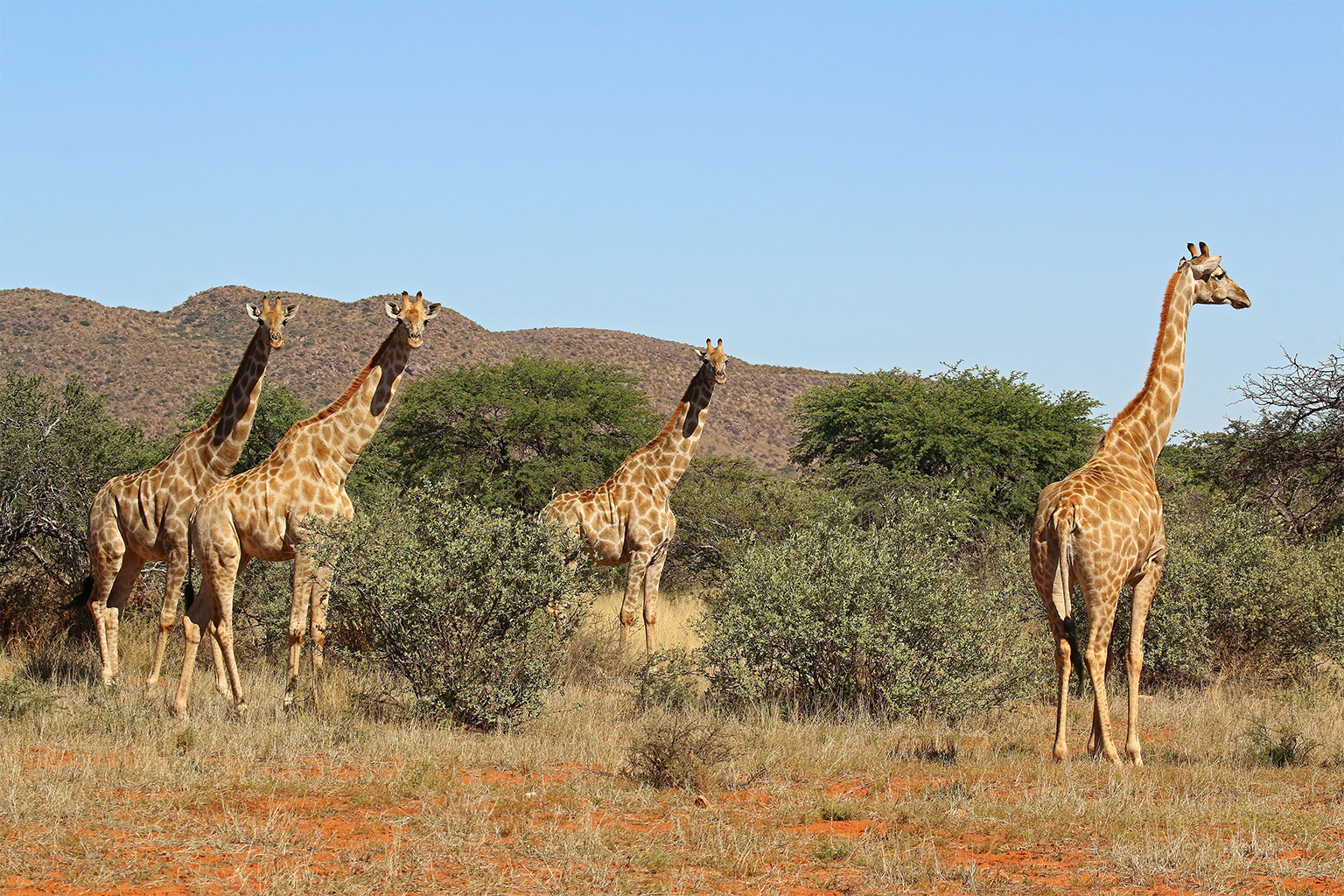
It does the same with acoustic data. For example, we have a project where they are targeting spider monkeys [Ateles hybridus]. The monkeys have a certain type of acoustic fingerprint, so SPARROW collects that data and sends it back to the server. Another example is our work with giraffes [Giraffa camelopardalis] and bongos [Tragelaphus eurycerus]. Whenever you detect a bongo or a giraffe, it will automatically reidentify that particular animal later. For now, we are doing reidentification only for these two species, but the plan is to expand the reidentification algorithms for other species.
Mongabay: Could you highlight two case studies as to how SPARROW is being used and the impact it has had?
Juan Lavista Ferres: There’s only a very small number of bongos left in the wild in Uganda. We have a significant number of devices there and the conservationists use the data to understand what is happening with that population of bongos. Thanks to SPARROW, they were able to detect one more bongo that they were not aware of.
SPARROW also helped Chester Zoo and the Uganda Wildlife Authority to find an endangered giant pangolin. There’s only a very small number of giant pangolins left in Uganda and we were able to record one in a video.
Mongabay: What have been the challenges in doing this?
Juan Lavista Ferres: The biggest challenge for us is that, once you do the deployment, if something fails you need to go back. Sometimes it can take three days to do that. A few weeks ago, we saw one elephant completely take down one of the devices, but the positive side is that as soon as the elephant took down the camera, the team knew and were able to go back and fix it.
Our most important challenge is to make sure these devices are completely bulletproof. One of the people on my team says that, in many ways, it’s like working in a NASA rover team: You know you have the device, but you cannot go there to recover it.
Mongabay: What are your future plans for SPARROW? What do you hope you’ll be telling me about the project in two years?
Juan Lavista Ferres: We are expanding. We have something now called SPARROW Studio. It’s a platform that not only allows you to use the data that you collected through SPARROW, but if you have your own data collection system in place, you can upload the data. We are excited to have a whole platform that makes it easier for conservationists to analyze data.
Two years from now, I would love to tell you that we have thousands of conservationists using SPARROW and that they have used it to discover new species. or that it has helped conservationists be more efficient to make sure species don’t go extinct. That’s our dream. Our success happens when it is easy for conservationists to collect, process and analyze data. The faster we move data, the better we are.
What is critical to understand is that the majority of the threatened ecosystems in the world are in very remote places, so it is impossible to collect data to begin with. Not only that, we also don’t want people to go there every three weeks to change batteries. Firstly, it would be impossible, but also we don’t want any humans in those ecosystems. At the same time, we need to understand what is happening there. This is why tools like SPARROW are so critical.
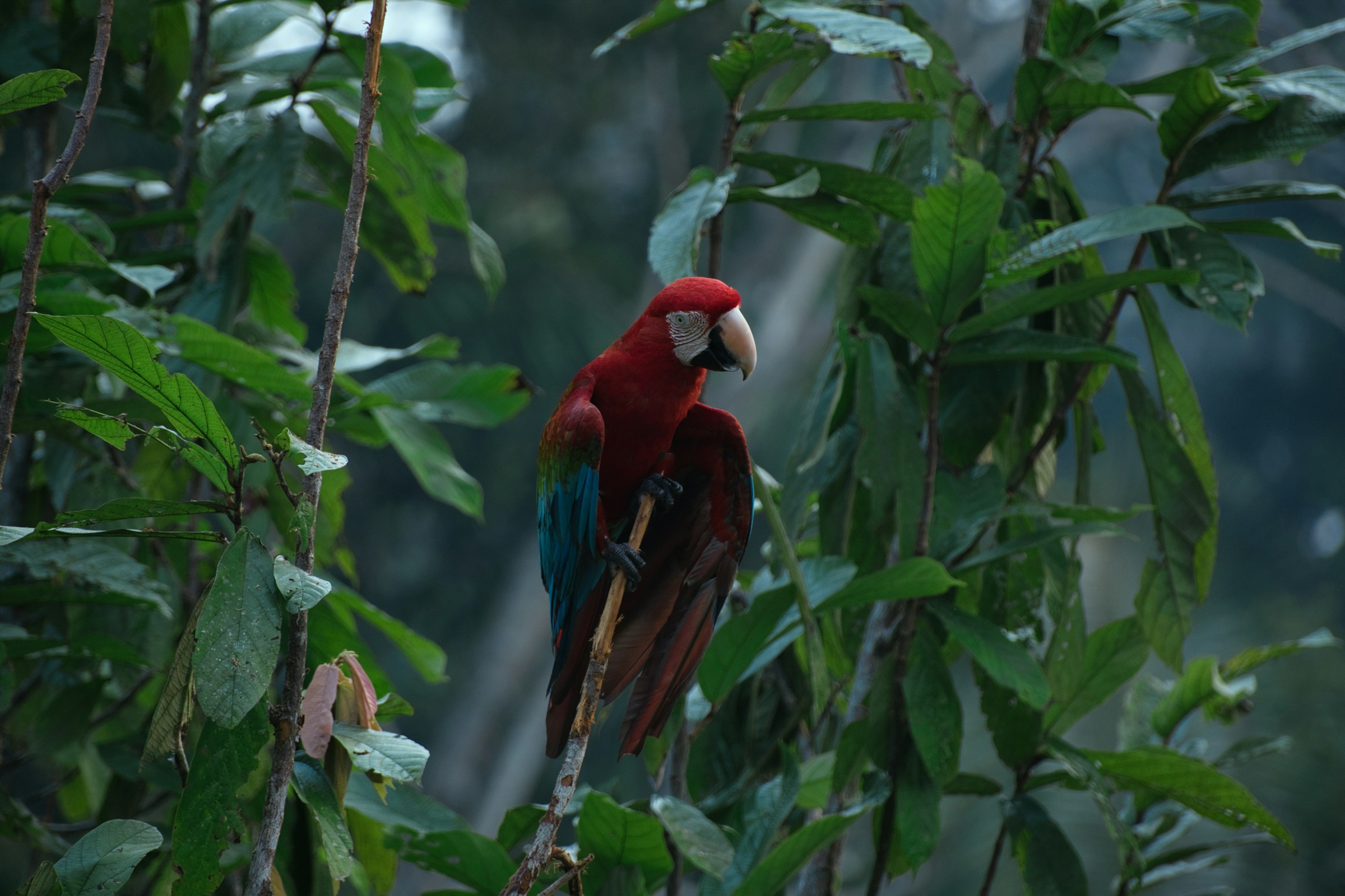
Banner image:A scarlet macaw (Ara macao) in the Amazon. Image by Pierre Perraut via Unsplash.
Abhishyant Kidangoor is a staff writer at Mongabay. Find him on 𝕏 @AbhishyantPK.
From radar blobs to bird species, AI helps transform migration tracking
Cite this article
Abhishyant Kidangoor (2026). How AI helps gather remote biodiversity data: Interview with Microsoft’s Juan Lavista Ferres. Mongabay Conservation news. DOI: https://doi.org/10.66709/news-326232

